- Project Overview:
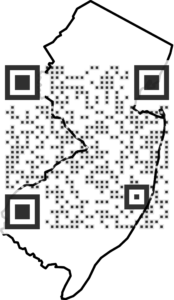
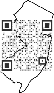
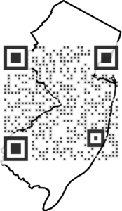
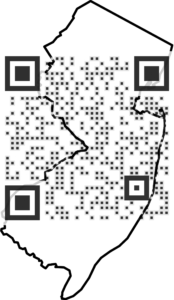
My project is a mobile platform that will use QR codes to show the location of specific objects in the collection on a GPS map like google maps in order for patrons to get a better understanding of where exactly these objects originated from and have them represented visually.
- Team Members:
I will be working on this project on my own.
- Vision Document:
- Research:
- Final Presentation:
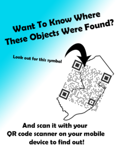
PowerPoint Presentation: https://docs.google.com/presentation/d/1NcuY2v8somUU7unJWprlXqe_8js_W2rOhyO-csJUnYI/edit?usp=sharing
Link to web pages: https://ngarlatti95.github.io/maps/map1
https://ngarlatti95.github.io/maps/map2
https://ngarlatti95.github.io/maps/map3
https://ngarlatti95.github.io/maps/map4